


Extended range continuous scanning
Long Range Radio allows scanning up to 20X further with up to 1km line of sight flight depending on configuration
Streamlined workflow
Aura delivers processing and visualization in one intuitive platform

Stream as you scan
Real time 3D visualization of the environment via the Commander app

360 Colorization
Add additional context to your point clouds
360 Image capture
Highlight areas of interest
Mapping
Survey grade results
Best in class SLAM, combined with automated georeferencing to further enhance results
Set and forget processing
With automated cleaning tools that include moving objects filter
Easy export
Import into standard CAD and survey packages including PointCab and Revit/AutoCAD
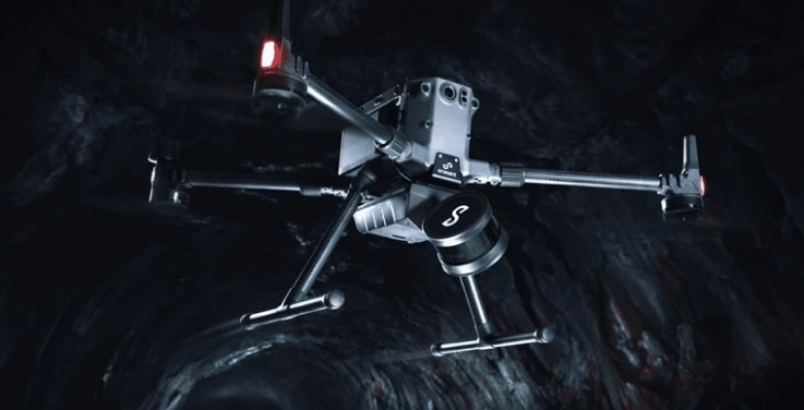
Versatile deployment
Plug and play design allows easy switching between platforms – handheld; attached to a drone, vehicle, or pole; lowered in a cage; or mounted to a backpack